Networks of sensors scattered throughout bodies of water around the world are crucial in predicting floods, managing droughts and understanding long-term changes in water availability. Researchers from The University of Texas at Austin have developed a new data-driven framework to optimize the management and placement of these key sensor networks.
This new approach uses advanced data analysis to identify optimal locations for streamflow sensors. By analyzing decades of historical data, the framework identifies the most “informative” locations—places where sensors can capture the most useful data about the entire river network.
“Water management has never been more complex,” said Matthew Bartos, assistant professor in the Cockrell School of Engineering’s Fariborz Maseeh Department of Civil, Architectural and Environmental Engineering and co-author of the new research in Nature Water. “In the face of more extreme weather events, like floods and droughts, we need smarter, more efficient ways to monitor our rivers and streams.”

The tragic July 4 floods in Central Texas underscored the importance of water management tools. And flood risk is a key part of this new sensor framework.
By incorporating data from the Federal Emergency Management Agency (FEMA), the researchers showed how the framework could prioritize sensor placement in flood-prone areas, helping communities prepare for and respond to disasters. Sensors placed in high-risk areas enable real-time monitoring of rising floodwaters, supporting timely evacuations and efficient allocation of emergency resources during extreme weather events.
“Floods are among the most devastating natural disasters, and early warning is critical,” said Jeil Oh. “Our framework ensures that sensors are placed where they can do the most good—not just for hydrological accuracy, but for protecting lives and property.”
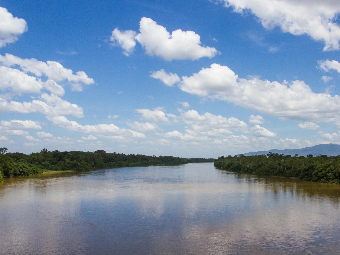
The researchers tested their framework in diverse settings, including the Texas Gulf Region, Bangladesh’s deltaic system and Brazil’s Amazon basin. In each case, the new approach outperformed existing sensor networks, providing more accurate streamflow predictions at equivalent coverage densities.
In Texas, for example, the framework improved predictions at ungauged locations—places without sensors—by strategically placing new sensors in areas with high hydrological variability. The researchers also demonstrated how the framework could be used to expand existing networks incrementally, allowing water managers to add sensors over time without disrupting current operations.
The key to this approach is a mathematical technique called rank-revealing QR decomposition, which identifies sensor locations that capture the most informative hydrological patterns while minimizing redundancy. The framework is model-agnostic, meaning it can work with data from any hydrological modeling system, making it broadly applicable across different regions and data sources.
The researchers hope their framework will become a standard tool for designing and upgrading hydrological monitoring networks. They also plan to explore new applications, such as monitoring water quality and tracking ecological changes.