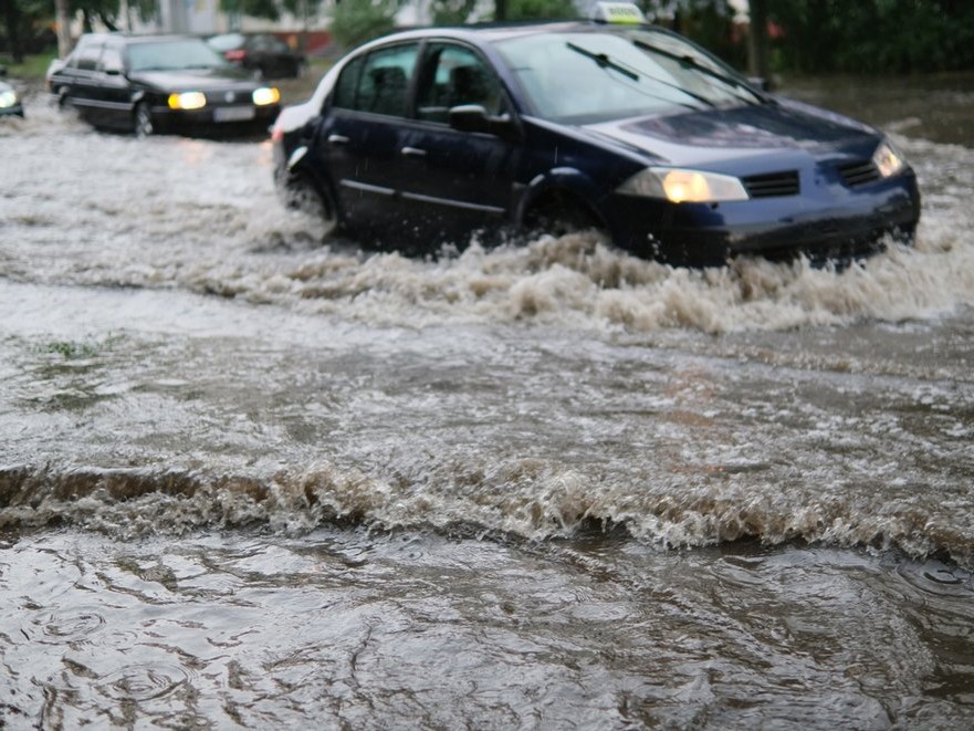
When a hurricane strikes, the most vulnerable are not always able to get out in time. Texas Engineers are using supercomputers at the Texas Advanced Computing (TACC) to study how shared autonomous vehicles (SAVs) can get people who do not have their own car into shelters out of harm’s way.
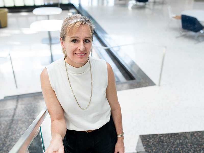
“A key finding of our study is that if you need to size this system for a certain evacuation period, then you're going to want one shared vehicle for every 14 evacuees along the very long coastline between Galveston and Houston,” said Kara Kockelman, a professor of transportation engineering in the Fariborz Maseeh Department of Civil, Architectural and Environmental Engineering at UT Austin. She co-authored the study, published in the journal Transportation Planning and Technology (June 2024).
The idea is to use shared autonomous vehicles, akin to the robotaxis of companies like Cruise and Waymo, to bring carless populations to bus stations that can then transport them to hurricane shelters further inland of Houston.
“That can be difficult to do in these low density, more rural environments to do in less than a couple of hours,” Kockelman added. The areas at high risk for evacuation include Brazoria, Chambers, Galveston, Harris, and Liberty counties. The study focuses on the thousands of people who can be stranded, such as those listed in Medicare databases who don’t have cars or access to a ride.
 An estimated 900,000 people will receive orders to evacuate when a Category 5 hurricane strikes—about 12.4 percent of the Houston area’s total population. The engineers estimated that the background traffic is about 50 percent of the normal traffic load. The rest of the population is assumed to remain in place.
The evacuees will travel across Houston’s complex network of roads; 36,124 links spread across 5,217 areas, known as traffic analysis zones. Out of these, 1,035 zones are in areas highly likely to be hit by strong hurricanes.
Kockelman was awarded allocations for her traffic simulations with SAVs on TACC’s Frontera supercomputer, the fastest supercomputer on a U.S. university campus and funded by the National Science Foundation.
“This work is impossible without supercomputers,” added Kockelman. “We’re tracking individual persons and individual vehicles every few seconds over 24 hours or days of actual traffic as it evolves from morning to evening and overnight.”
The traffic decisions in the simulations account for how bad traffic is, picking the best routes, and prioritizing pick-ups to minimize the time that it takes to clear evacuees.
The engineers used the (SUMO) Simulation of Urban Mobility traffic simulation software to assess traffic congestion and network capacities. They modeled pre-disaster evacuation scenarios with a lead time of several days before hurricane landfall.
“SUMO models the daily activities of everyone living in the region,” said Kentaro Mori, a UT Austin PhD student supervised by Kockelman. “There’s a lot of complexity that adds to the computational cost. Without TACC, we wouldn't be able to run the many scenarios that we need to truly answer these important research questions and make the best policy recommendations."
The team started the simulations with 200 robotaxis expanding out to 1,200 — they also tried different sized cars.
"At the end of the day the 5-seater cars were the nimblest,” Kockelman said. “These vehicles accelerate more quickly into traffic compared to the larger vehicles.” What’s more, the simulations showed diminishing returns on a fleet larger than 200.
This study was a pioneering effort that provides suggestive data of a viable alternative mode of transportation for hurricane evacuees without access to private vehicles. While the results are not being directly used for hurricane applications yet, the engineers did consult with evacuation leaders for Texas in forming the study. The authors anticipate SAVs playing a bigger role in evacuations, as companies like Waymo broaden their ridership; and operations make improvements through methods such as smart repositioning of idle vehicles, optimal dynamic ride sharing matching, enhanced path finding algorithms, and more.
Kockelman added that the traffic simulations could apply to other cities and different disaster evacuation scenarios, such as wildfires on the West Coast.
“The ability to simulate in detail and allow for uncertainty and heterogeneity in the population was never feasible before with the way people make decisions or how traffic unfolds second-by-second level," Kockelman said. "That richness comes alive with the use of TACC systems. We're fortunate that we're here at UT Austin and able to harness that ability.”


